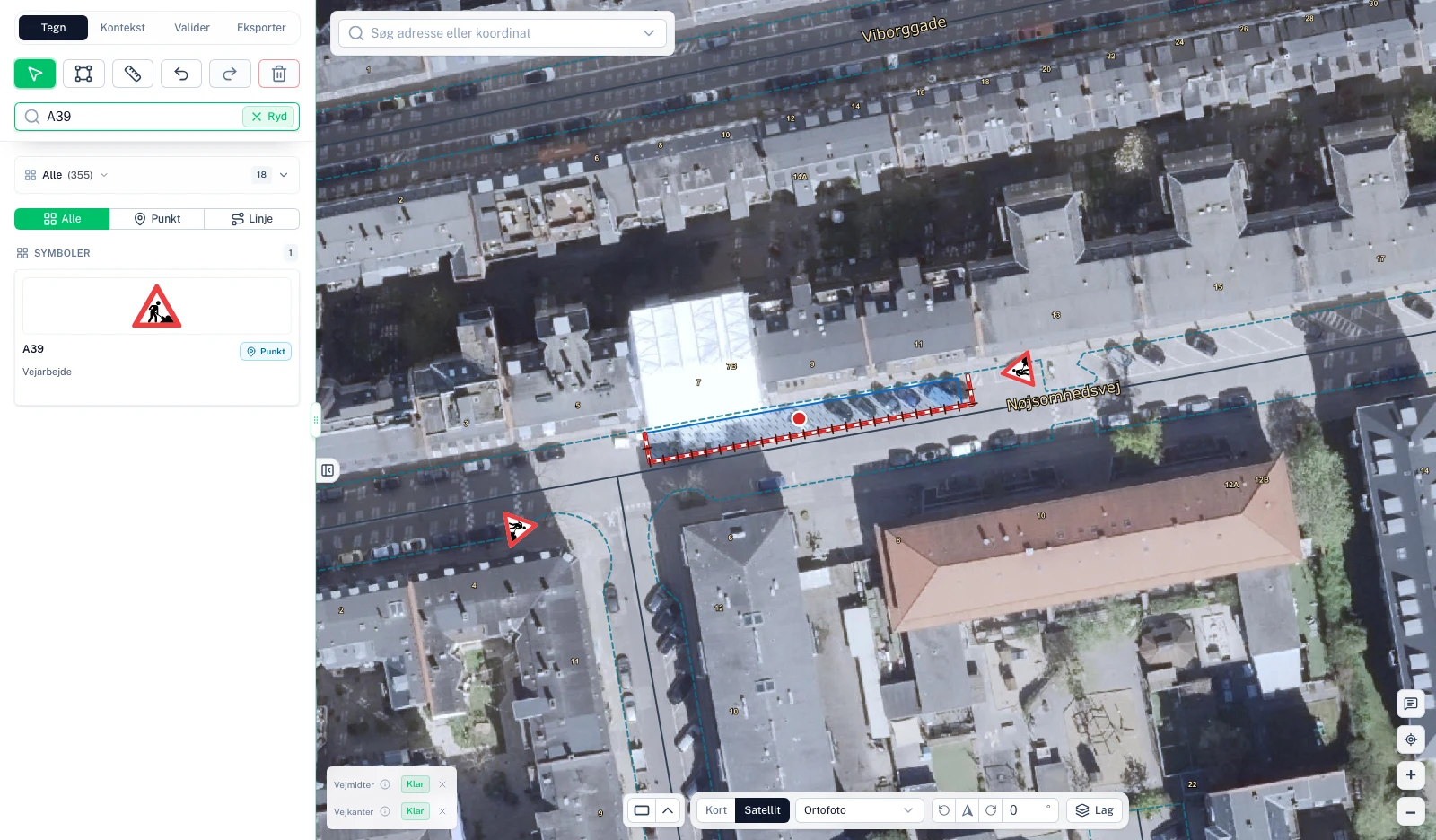
Start with a map of the actual road.
The example uses the angled parking bays on Nøjsomhedsvej in Copenhagen. Aerial photography and road centreline and curb layers show the surroundings, while a drawn work area marks the demonstration’s working location.
The basemap helps explain the location. The demonstration illustrates the tool’s workflow, rather than a survey or a complete plan for actual roadworks.
Draw parking restrictions as a single segment.
The first plan draws parking restrictions along the angled parking bays. The C61 tool groups start, repeat and end signs into a single segment that can be adjusted together.
The recording also shows how to move the displayed signs away from the road while their actual positions remain connected to the segment.
Place barriers and warning signs in a separate plan.
The second plan shows plastic barriers around the work area and two warning signs placed and rotated to face opposing approaches. The material list shows the plan’s selected equipment.
Finally, the export preview opens with the same placements, map, scale, north arrow and legend. The result shown is an export preview, not a submitted application.
Watch the recordings behind this example